To a person setting off on a journey, centuries-old maps are of little use. You wouldn’t want to sail from Latin America to Spain using Columbus’s maps, even if you could get your hands on them. And yet old maps can still be extremely valuable, not only in charting the geographical knowledge of a given time but in helping us to understand how their makers and by extension their societies saw the world.
Such is the underlying premise of the University of Wisconsin’s History of Cartography Project, a titanic effort to transform the study of maps and their place in civilization that began 30 years ago. Grants totaling $5,178,782 from NEH have provided invaluable backing for four volumes of its epochal reference compendium, The History of Cartography, a project that through research, articles, and images documents the history of humans relating to the spatial world.
“No NEH support, no History. It’s as simple as that,” says geographer and project director Matthew Edney. By funding the kind of nuts-and-bolts academic and administrative work, the Endowment has helped to midwife one of the most sweeping academic undertakings of a generation. “Without such infrastructural support,” he noted, “the project would have failed a long time ago.”
Edney describes early approaches to historical geography, as “rather tired,” and “something of an intellectual backwater”—often the domain of map dealers and librarians rather than professional academics. But the changing intellectual winds of the 1980s brought a brand-new interest in maps as documents reflective of the societies that create them. Soon, specialists like Brian Harley (a cofounder of the project) were quoting Jacques Derrida and Richard Rorty in lectures and examining the ideological role of maps in empire-building. In 1987, this simmering atmosphere produced the first volume of TheHistory of Cartography.
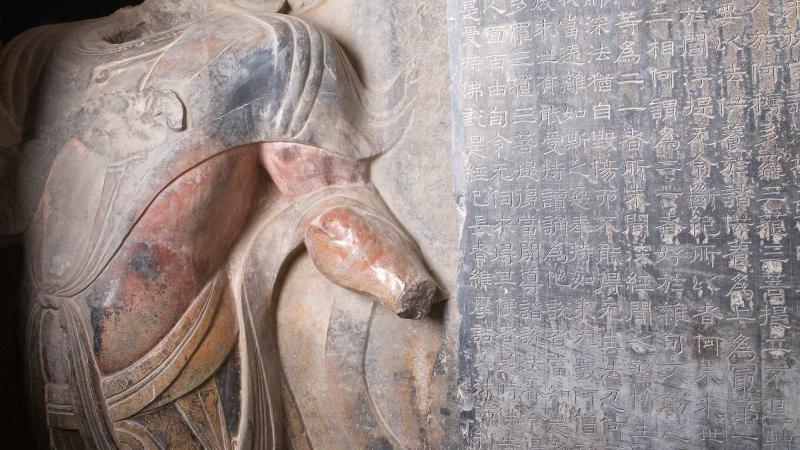
The first volume covers a lot of territory—maps from prehistoric, ancient, medieval Europe, and the Mediterranean. Take, for example, a beautifully colored fresco from Santorini, Greece, which depicts the story of a fleet leaving one port and traveling back to its home village. It is dated around 1500 BCE, but it has similarities in form and perspective to medieval picture maps like the one of Rome done by the workshop of Pietro del Massaio in a 15th-century manuscript. Maps found on walls, paper, rocks, coins, and more are considered—and not just maps of the physical world, but also of the cosmic, heavenly, and spiritual. Edward Rothstein wrote in the New York Times about the series, “It is trying to define a new set of relationships between maps and the physical world that involve more than geometric correspondence. It is in essence a new map of human attempts to chart the world.”
Nearly three decades after its start, the project is still navigating the complicated road to completion. The second volume—cartography of Islamic societies, and those of Asia, southeast Asia, Africa, Arctic, Australia, and the Pacific—swelled into three separate books; the third tome on the European Renaissance had to be broken into part 1 and part 2. All three volumes are available online, but the emergence of the Internet has also changed the way that vast collections of knowledge are assembled, not just how they are accessed. Above all else, historical cartography remains a moving target—Edney concedes that “the amount of scholarship stimulated by Volume One means that it is, effectively, out of date.”
Written by Kevin Mahnken, senior fellow at The 74.